Suan Dusit University acknowledges the critical importance of managing the impacts of climate change, particularly in addressing natural disasters. In alignment with Sustainable Development Goal 13 (SDG 13: Climate Action), the university has developed a Flood Risk Management Plan for its campuses and education centers nationwide. The plan focuses on risk management across different disaster stages through the integration of data and collaboration with provincial and local government agencies.
Example: Local Monitoring and Support Efforts
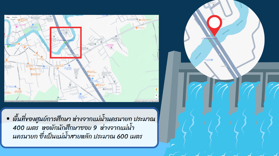
The Nakhon Nayok Education Center of Suan Dusit University, located on low-lying terrain approximately 400 meters from the Nakhon Nayok River, is identified as a high-risk area for flooding—particularly during tropical storms, heavy rainfall, or flash floods, which may cause riverbank overflow. In extreme scenarios, such as a dam breach at Khun Dan Prakarn Chon Dam, the risk level would be considered critical.To strengthen disaster preparedness and enhance local resilience, the university has undertaken a series of monitoring and data support measures, including:
1. Risk Monitoring and Assessment
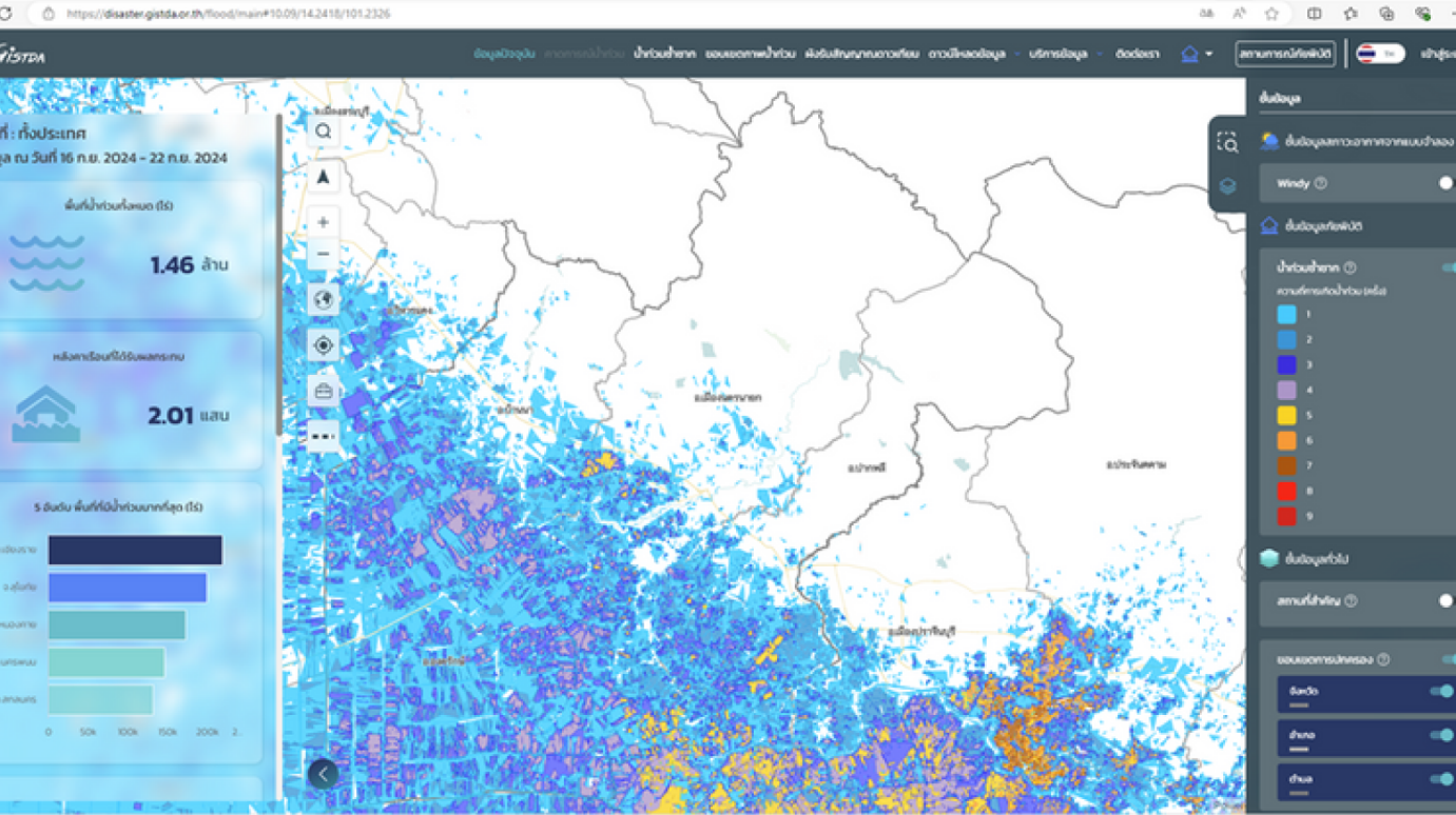
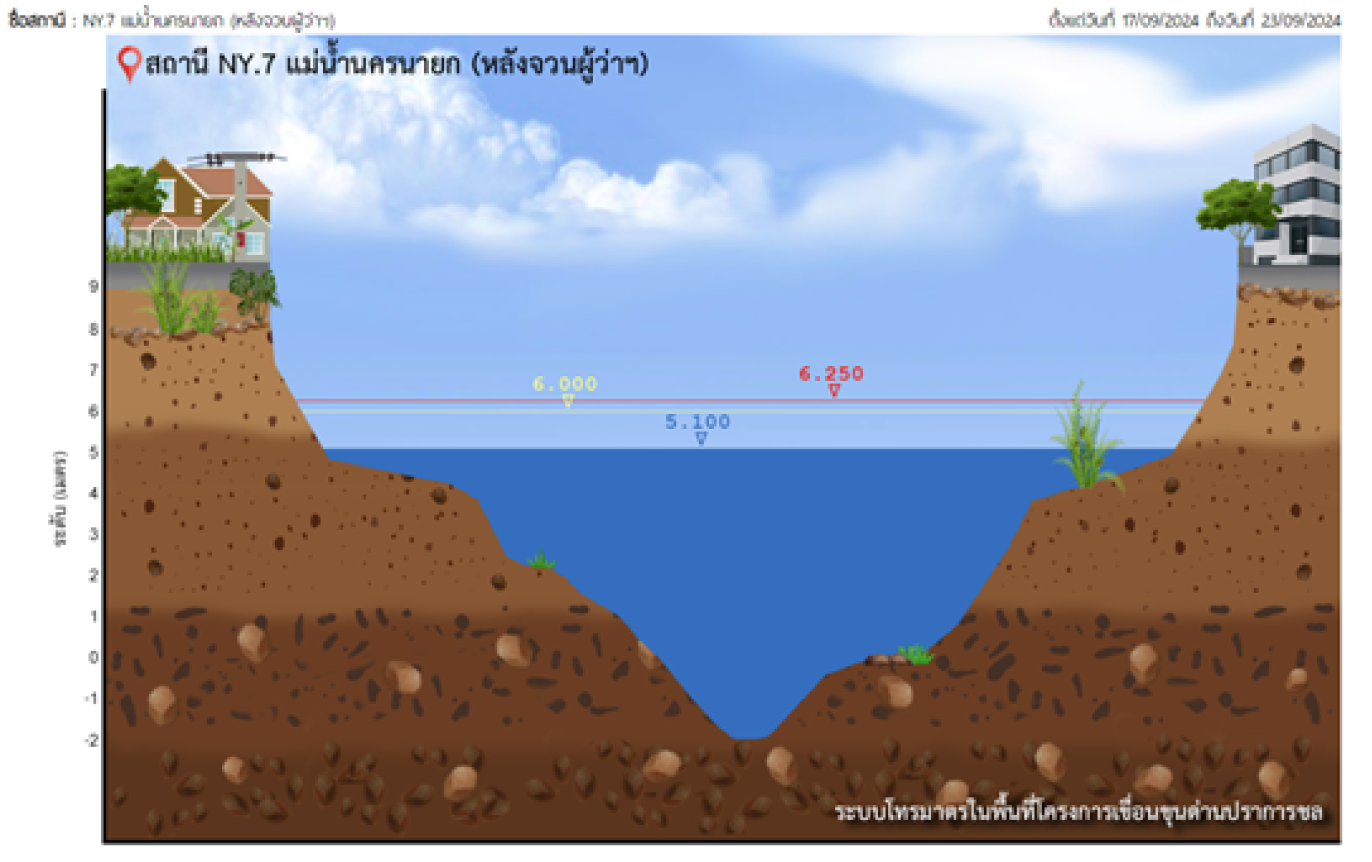
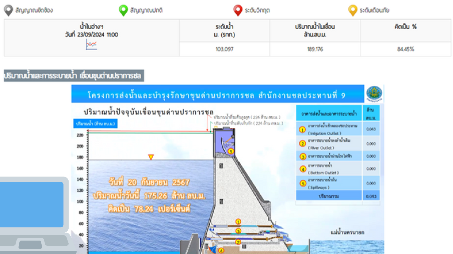
- The University utilizes data from the Royal Irrigation Department to assess flood-prone areas surrounding the Nakhon Nayok Education Center. This data is used to forecast potential flood levels and likelihoods, serving as a critical foundation for the University’s disaster preparedness planning.
- The University also conducts real-time monitoring of water and weather conditions through the Royal Irrigation Department’s telemetry system and official alert notifications from relevant agencies. This ensures continuous situational awareness and timely response to any potential flood risks.
2. Coordination and Government Support
- In cases of high-risk conditions such as tropical storms or flash floods, the University has established a clear protocol to coordinate with relevant local government agencies to share and receive information regarding potential flood hazards.
- This process goes beyond simple information gathering — it involves active data exchange and support at the local level to enhance the accuracy and effectiveness of flood risk assessments, particularly in forecasting and responding to sudden flooding events within the broader local context.
Disaster Preparedness Plan
Suan Dusit University’s Flood Risk Management Plan encompasses three key operational phases to ensure rapid and safe response during flood-related emergencies:
• Before the Incident: Focuses on risk reduction and preparedness measures, such as safeguarding property, relocating teaching and laboratory equipment to higher ground, preparing backup power generators and water pumps, and conducting flood response drills (including evacuation exercises) to ensure readiness.
• During the Incident: Emphasizes emergency management and real-time coordination, utilizing data from the Meteorological Department and other relevant agencies to support the evacuation of students and staff to safe zones, and establishing an Emergency Operations Center (EOC) to oversee health and safety throughout the crisis.
• After the Incident: Focuses on recovery and resilience, including restoring university operations to normal conditions as swiftly as possible, evaluating the effectiveness of the previous response measures, and updating the flood response plan for future events. In addition, the University provides temporary accommodation and financial assistance to affected students and staff as part of its post-disaster recovery support.
This phased flood risk management framework demonstrates Suan Dusit University’s strong commitment to ensuring safety and minimizing operational disruptions through close collaboration with local authorities. By utilizing governmental risk assessment data and official early warning systems, the University actively monitors water levels and maintains preparedness for potential emergencies. This integrated approach serves as a key mechanism for advancing SDG 13 (Climate Action) at the local level.